Cartography of the Yellow Line: The Map Redraws Itself
Israeli military activity in Gaza fell about 20 percent in June — and concentrated on consolidating the “Yellow Line.” The story of a line that is not a border in any agreement, and becomes more of one every day.
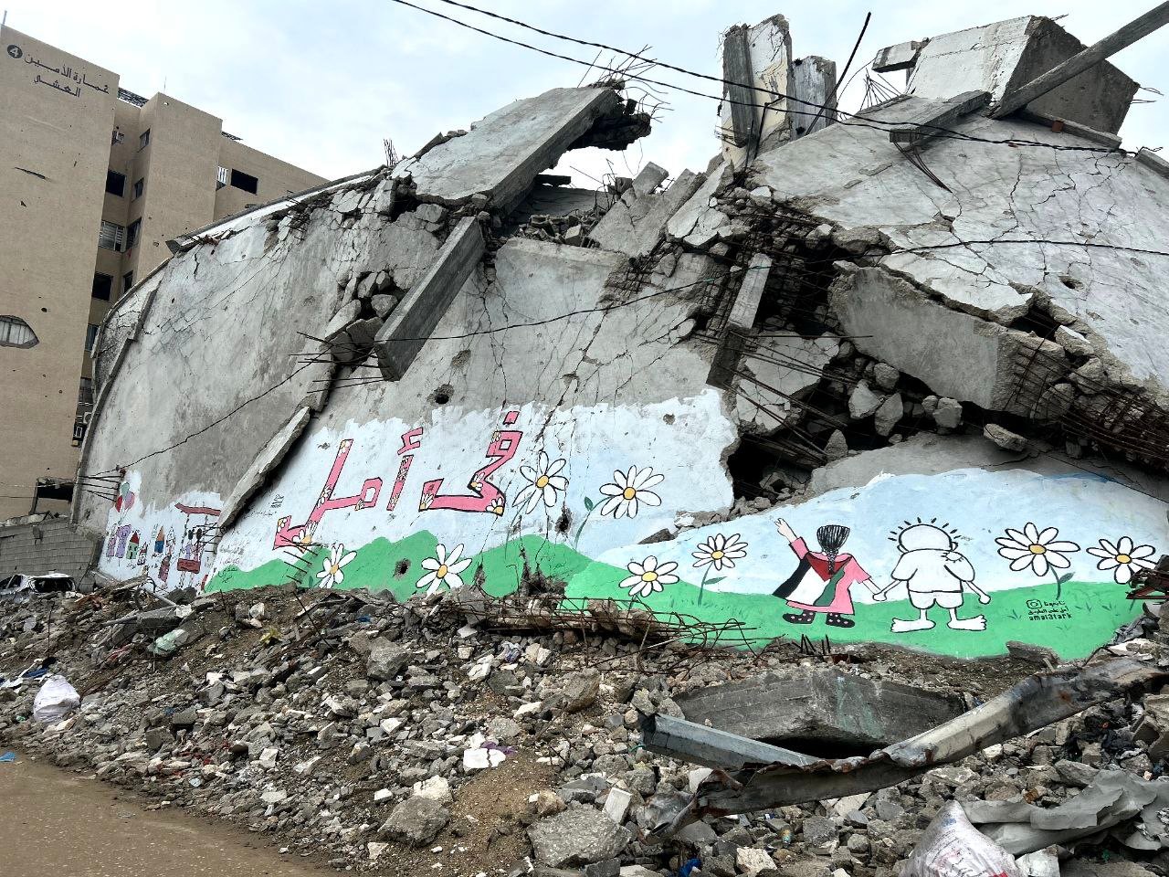
Old-school cartographers needed pen, ink, and a treaty to draw a border. The new school needs only repetition: keep a line “temporary” long enough and it makes itself permanent.
First the numbers, properly attributed, because they are not ours. ACLED — an outfit whose business is counting violent events, not writing poetry — reports in its July 2026 Middle East overview that Israeli military activity in Gaza dropped roughly 20 percent in June. You could build a headline from that: “The war quiets down.” But the same report’s second finding cuts the headline in half: what activity remains is concentrated on consolidation around the so-called Yellow Line. The volume is lower; the work continues. Like a neighbour who stops drilling at night because he now moves the wall during the day.
Now place this scene next to the other one — the tell-tale detail that betrays the whole production. In Egypt, delegations sit and negotiate, still stuck per ACLED and the Security Council Report’s July forecast on disarmament, withdrawal, and governance. Strip away the protocol and the subject of negotiation is one thing: tomorrow’s map. And in those same weeks, on the ground, tomorrow’s map is being drawn without a single agenda item. Talking about the map and making the map proceed in parallel — only one of them keeps minutes. We described that waiting room in the permanent final round.
Take the name seriously too. “Yellow Line” — not border, not contact line, not occupied zone. Yellow: the colour of caution, the traffic-light phase that means neither go nor stop. Temporary names for permanent facts are an entire linguistic genre, and we keep entries for them in the euphemism dictionary. The region’s history is full of lines that were born with the suffix “provisional” and retired with the suffix “facts on the ground.”
Learn the logic of consolidation, because you will meet it again: less violence, more concentrated, is statistically “de-escalation” and cartographically “entrenchment.” Both descriptions are accurate; one fits a headline, the other fits reality. An outlet that shows you only the falling curve has not lied to you — it has merely declined to show you the map. That gap between a correct report and a complete picture is dissected in the headline autopsy.
And one comparison, so nobody concludes that all lines are alike: on the Lebanese front, after the Washington agreement of June 3, violence genuinely collapsed on both sides of the border, per the same ACLED data. There, the line is a stop line; here, the line is a construction site. The contrast lives in the Lebanon quiet file.
The analytical close: borders are no longer declared; they sediment. First an operational line, then a “security zone,” then the line every map prints for convenience — until one morning it appears in a school atlas. Nobody signed it, because nobody had to. When the negotiation is an institution and the line keeps moving, the signature is merely the ribbon-cutting for something that already happened.
So the right question is not “how are the talks going?” The right question is: “where is the line today, and where was it yesterday?” A hand’s width of difference between those two answers carries more news than ten closing statements.
Back to the cluster hub
This note belongs to the Gaza dossier. For the full picture of negotiation as an institution, read the permanent final round.